
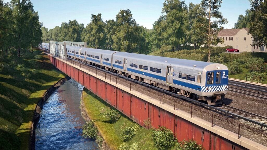
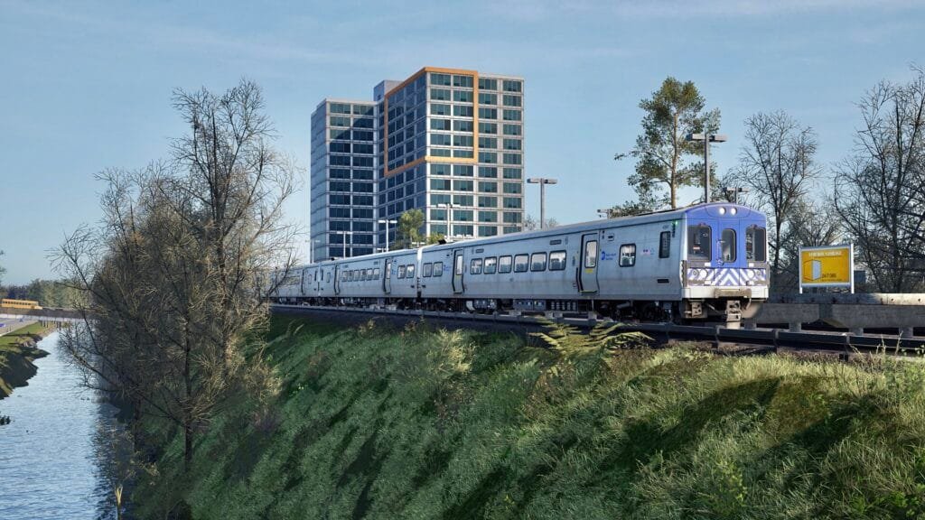
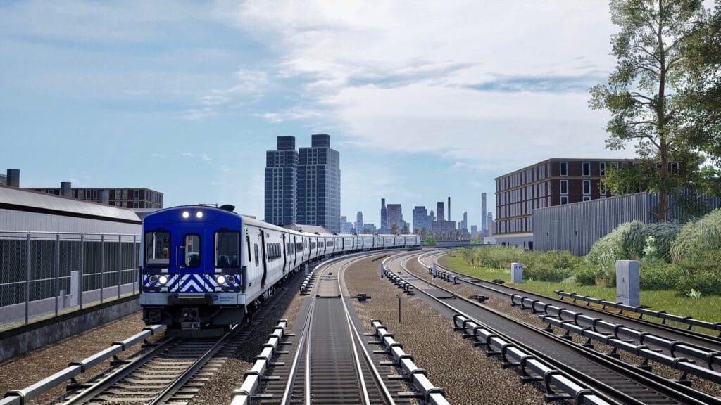
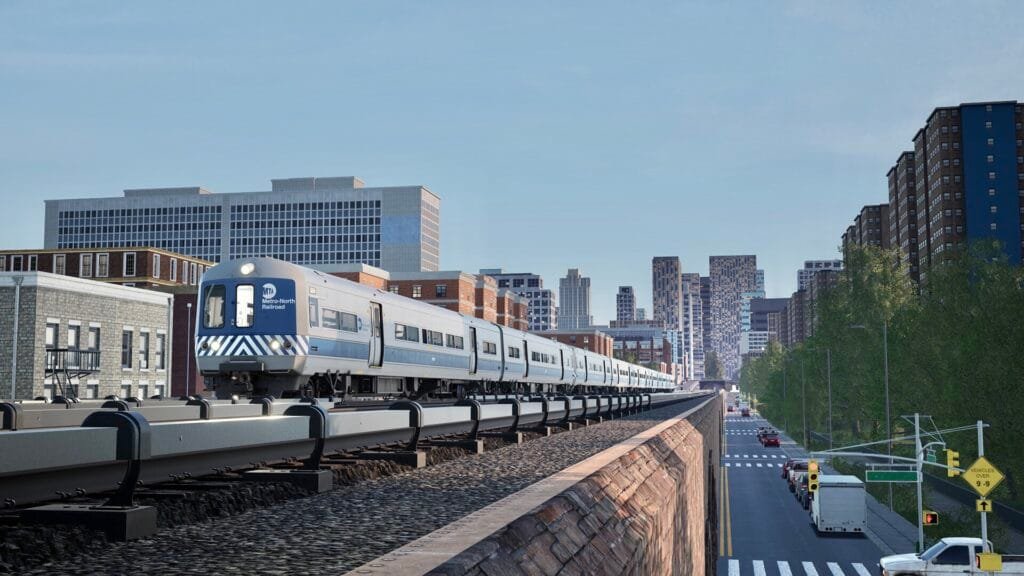
Grand Central to North White Plains is an MTA line and distance. Specifically, it’s a section of the Harlem Line operated by Metro-North Railroad, connecting Grand Central Terminal in Manhattan to North White Plains in Westchester County, New York, United States. This Train Sim World 2 featured route is a commuter rail line that travels north from New York City.
Grand Central to North White Plains Location
- Route: The Harlem Line is a specific Metro-North Railroad route that runs north from Grand Central Terminal.
- Distance: The distance between Grand Central Terminal and North White Plains is approximately 23 miles, with a road distance of 24.8 miles.
- Commuter Rail: The route is a popular commuter rail option for people traveling between New York City and Westchester County in North America.
- Third-Rail Electrification: The lower section of the Harlem Line from Grand Central Terminal to Southeast, in Putnam County, is electrified with a third rail. The electrification extended to North White Plains until 1984.
- Location: North White Plains is also a short-turn point for some Harlem Line trains, meaning that not all trains travel past this station.
Metropolitan Transportation Authority (MTA)
Location
Grand Central Terminal
Harlem–125th Street
Melrose
Tremont
Fordham
Botanical Garden
Williams Bridge
Woodlawn
Wakefield
Mount Vernon West
Fleetwood
Bronxville
Tuckahoe
Crestwood
Scarsdale
Hartsdale
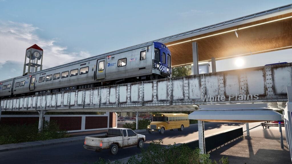
White Plains
Yankees–East 153rd Street
North White Plains
1 thought on “Grand Central to North White Plains Location”