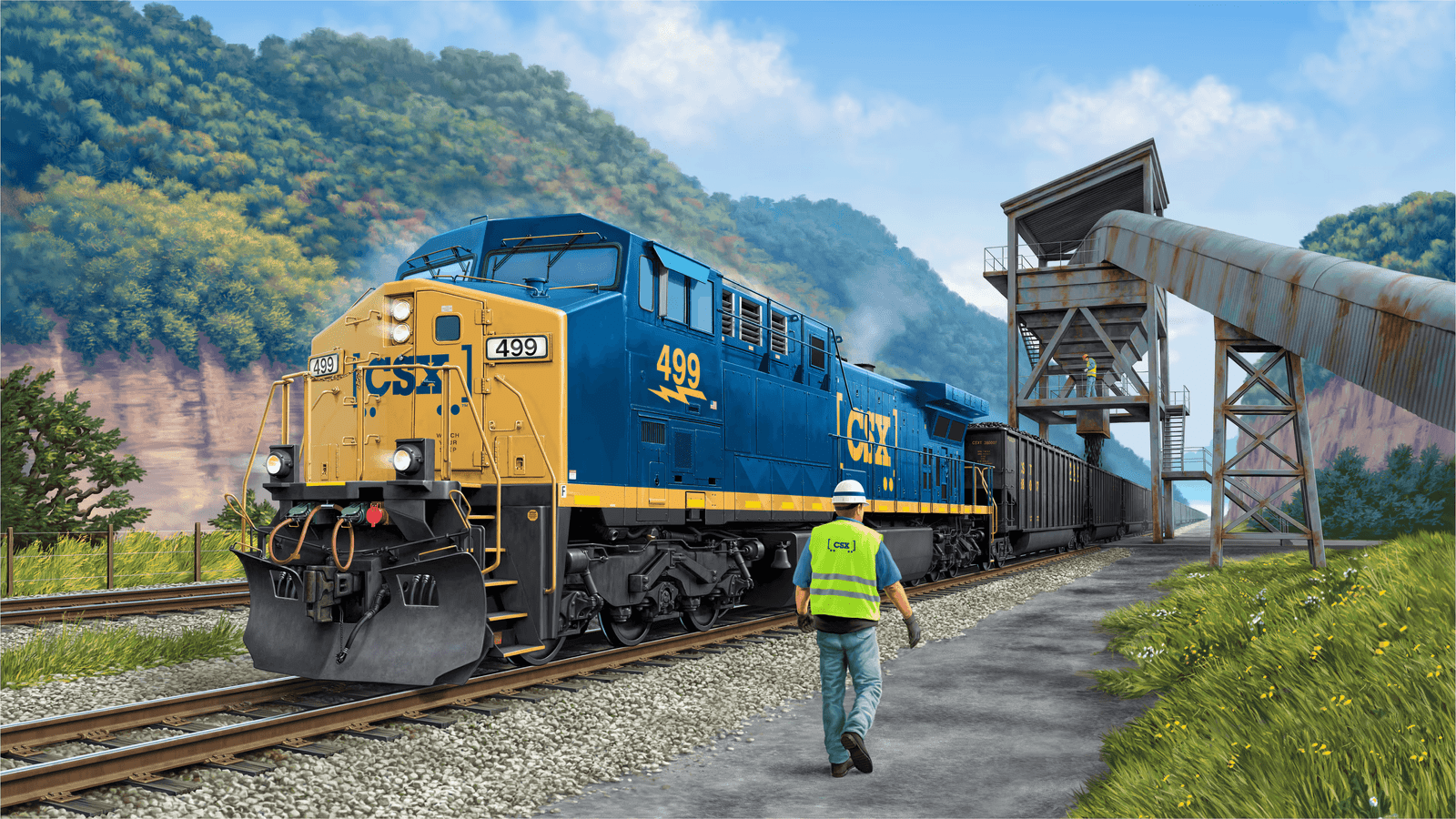
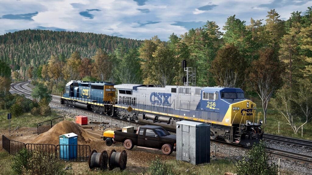
Rockwood to Cumberland Location refers to a Train Sim World 2 featured 100-mile-long section of railroad track known for its steep grades and curves through the Allegheny Mountains of Pennsylvania and western Maryland, United States, particularly noted for its steepest railroad grades on the East Coast.
Rockwood to Cumberland Location
- Location: The Sand Patch Grade runs through the Allegheny Mountains, specifically in Pennsylvania and western Maryland in North America.
- Steepness: It’s known for its steep grades, with some sections having grades as high as 2%, and dropping over 1,000 feet (300 m) in about 20 miles (32 km).
- Route Significance: The Baltimore & Ohio (B&O) built the Sand Patch Grade in the early 1870s to open up an east-west route over the rugged Allegheny Mountains.
- Sand Patch Tunnel: There is also a tunnel called Sand Patch Tunnel, located northeast of State Route 2006 in Sand Patch, Somerset County, PA.
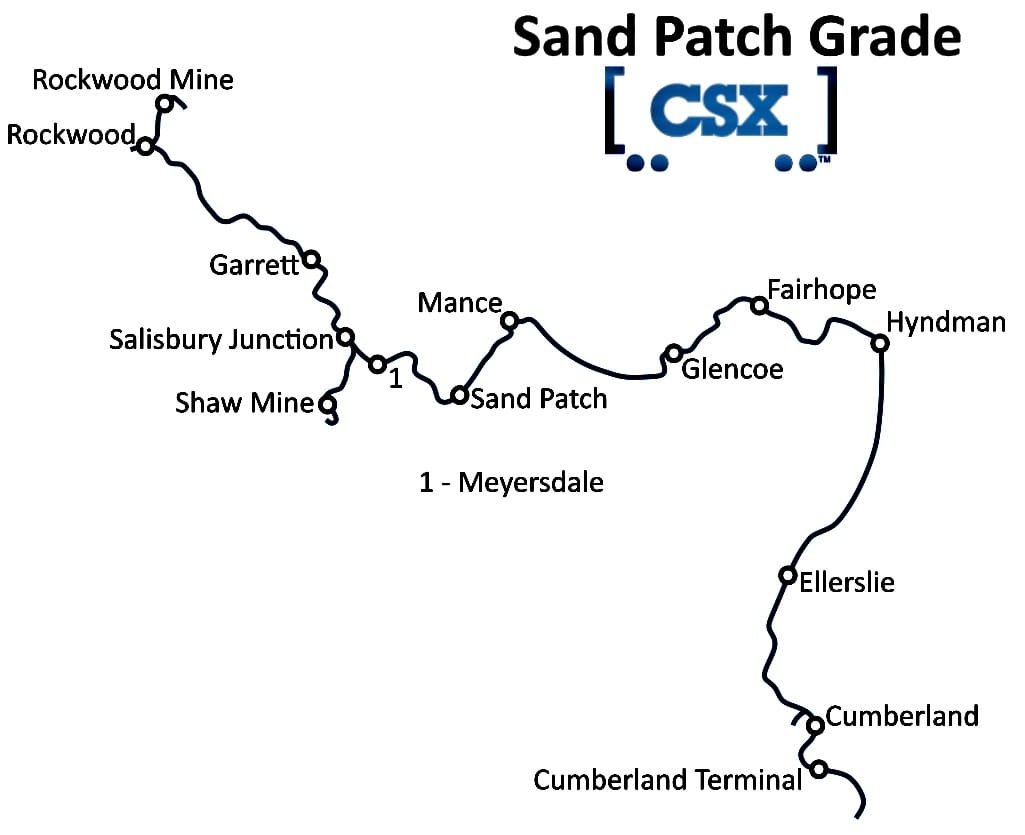
Locations
Leave a Reply